It does seem to be the Mashtuur map in creation.
Looking at the ingame screenshot, there appears to be no lightmaps, the number of tickets hasn't been set, the health/ ammo bars are not functioning, the fog has not been set, etc etc.
----------------------
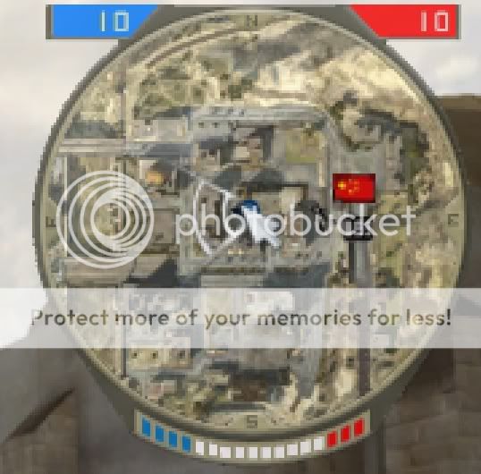
Military planners for both the US and the People’s Republic of China quickly realized that this sector contains key strategic bridges that provide easy armored access to the Manchurian heartland and deployed accordingly. To secure possession of these vital lines of advance elements of both nations are racing to meet head-on amidst the scattered farms, villages and industrial areas of this ancient, remote landscape.
Does anyone recognise this map description?
In the localization files it is listed as a map called "hinganhills" which i guess would have been called Hingan Hills
FuShe Pass also appears to have previous been called "Glowing Pass"
Last edited by Titch2349 (2007-01-03 10:38:39)
